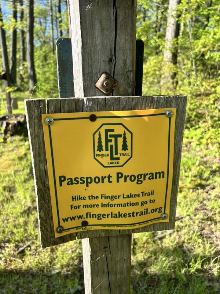
Most visitors never realize it, but a national scenic trail passes within a few minutes of Washington Street. The white blazes climbing through the Rock City and McCarty Hill state forests belong to the Finger Lakes Trail, and along this stretch they also carry the North Country National Scenic Trail, the longest of America's national scenic trails. Walk out of Ellicottville and, in theory, you could keep walking to North Dakota or Vermont.
Where the trail runs
The trail threads the same high ground that holds the town's mountain bike network. From the south it climbs through Rock City State Forest, crosses into McCarty Hill State Forest, and descends to NY 242 just west of the village. The McCarty Hill stretch alone is about 5.2 miles of quiet hardwood forest between Hungry Hollow Road and NY 242. This section is marked with the Finger Lakes Trail's white blazes and is hiking only, so you will not be dodging bikes even where the footpath passes near the riding trails.
Along the way the route passes the site of Camp Seneca, an old Civilian Conservation Corps camp that is now a picnic and camping area with a pavilion and parking. At Mutton Hollow Road, a 0.3-mile blue-blazed side trail drops to the Holiday Valley lean-to if you want to sleep on the hill.
Map tip. The Finger Lakes Trail Conference publishes map M3/CT3, "Ellicottville," which covers this exact section. It is worth the few dollars if you plan to link a longer day.
Little Rock City
The signature stop on this stretch is Little Rock City, at the south end of the forest between Ellicottville and Salamanca. House-sized blocks of 400-million-year-old Salamanca conglomerate have broken away from the plateau and settled into streets, alleys, caves, and passageways, a city built of stone with moss for paint. A 0.7-mile yellow-blazed nature loop starts from the turnaround at the end of Little Rock City Road and winds through the boulders. You can wander for twenty minutes or lose two hours in there, and it is free.
How to hike it
- Easy taste: Park at the end of Little Rock City Road and walk the 0.7-mile nature loop through the boulders.
- Half day: Start at the NY 242 crossing west of the village and hike south into McCarty Hill State Forest as far as your legs want, then turn around.
- Full section: Set a shuttle and walk the McCarty Hill section from Hungry Hollow Road to NY 242, about 5.2 miles, adding the lean-to spur on the way.
- Overnight: Hike in to the Holiday Valley lean-to via the blue-blazed spur at Mutton Hollow Road and wake up on the ridge.
When to go
The trail hikes well from late spring through fall. October is the showstopper, when the hardwood canopy over the boulders turns gold and red. In winter the same corridor becomes snowshoe country. After heavy rain, expect mud in the low spots; this is Western New York forest, not a sidewalk.
Leave it better. These trails are maintained by Finger Lakes Trail Conference and North Country Trail volunteers. Pack out what you pack in, and consider joining a work day if you fall in love with the place.